The History of M44 and M44 CONNECT
The history of M44 (East Beltline) and the M44Connector (Plainfield Ave) begin back in the 1920s in Grand Rapids. By the mid-1920s, officials in Grand Rapids began to recognize the new problems posed by traffic.
The 1920s saw a boom in car ownership across the United States. Between 1919 and 1929, the number of passenger cars in the country exploded from 6.5 million to over 23 million.
The street layout in Grand Rapids was originally based on old Native American trails. Streets were not built to handle the influx of motorized vehicles.
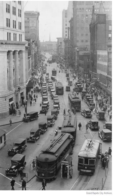
Downtown streets were chaotic, with automobiles competing for space with streetcars, horse-drawn wagons, and pedestrians.
Traffic laws were minimal or nonexistent in many places in the early 1920s. Rules for turning and parking were only beginning to be implemented, adding to the disorder.
The concept of "jaywalking" had to be invented and promoted by the auto industry to shift responsibility for accidents away from drivers and onto pedestrians. It was not until the mid-19th century that a more systematic grid began to be established in some areas.
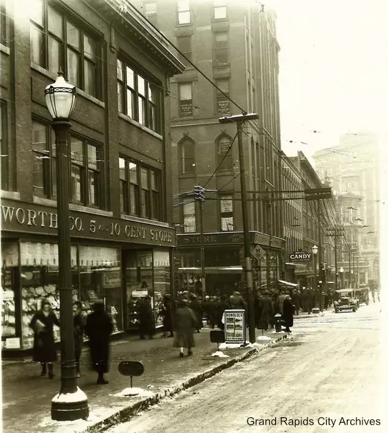
However, only major streets and areas around railroad depots were being paved. Many roads were poorly maintained or unpaved, such as downtown Monroe Avenue, which is pictured unpaved as of 1926. The former Pantlind Hotel, now the Amway Grand Plaza Hotel, is in the hazy background.
In 1924, city planner Harland Bartholomew developed a comprehensive plan for the city that addressed the new realities of the automobile age. His plans included proposals for street widening and other infrastructure improvements.
Outside the city limits, the State of Michigan Highway Department was developing a plan of its own: a Grand Rapids Beltline system that would create highways around all sides of the city, forming a sort of “box of highways.”
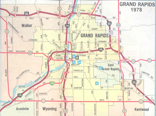
You can see the broad outline of the Beltline System on this 1978 map, even though the plan to formally box in Grand Rapids had been set aside by then.
The East Beltline was built between the 1920s and 1940s, and is still known as East Beltline today. It ran south from Plainfield Avenue to 28th Street and was designated M-114 before being incorporated into other routes.
By the 1940s, the state had completed the West Beltline (present-day Wilson Ave), the South Beltline (present-day 28th St) and the portion of the East Beltline (present-day East Beltline Ave) north of Cascade Rd to US-131/Plainfield Ave. At that time, US-131 ran through Grand Rapids via Division & Plainfield Avenues.
The North Beltline was originally planned to run along 3 Mile Road to connect the East Beltline with the West. However, this portion of the Beltline System was never completed as planned, because I-96 made it unnecessary.
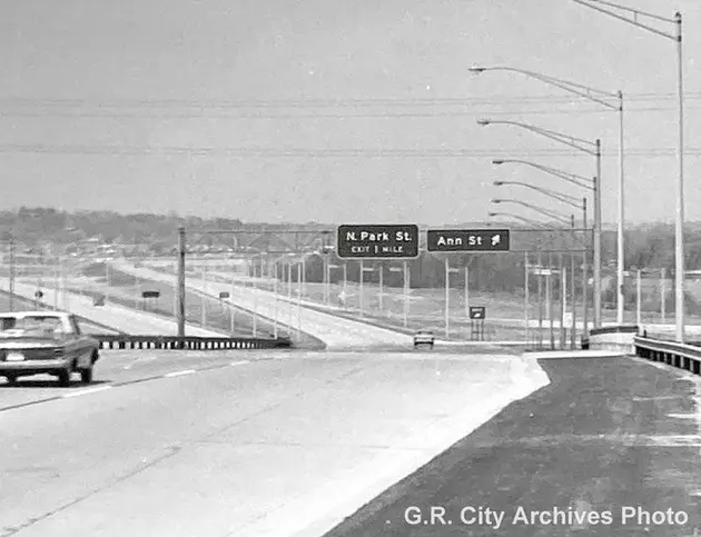
In December of 1962, the US-131 freeway from Grand Rapids through to 1-96 opened. At that point, East Beltline Ave from 28th St north to Plainfield Ave was designated as a southerly extension of M-44.
In 1969, the US-131 freeway was opened north of Grand Rapids past Rockford to 14Mile Road.